About the artwork
About the artwork
【Two Kotsunagi villages】
There was once a village called Kotsunagi in Tokamachi-city. I will consider the background leading to the closure of the “two Kotsunagi villages”, one in Matsudai and the other in Nakajo・Tobitari in Tokamachi. The place-name “Kotsunagi”stands for a key point of traffic routes connecting main roads with pathways or one village with another and also a point where we descend from the mountain pass. The settlement is thought to have been located at a quiet point in the traffic.
The two villages were closed in 1992 and 2007 respectively and the evidence of their existence of 400 and 800 years are preserved as “inscriptions”. Both villages developed their histories and cultures by finding original ways of doing agriculture and leading life while adapting to the natural environment of the region. Such distinctive agriculture and lifestyle of each community resulted in diversity that supported the ecology of the region while at the same time improving adaptability to natural disasters and changes in the social environment.
The monument says that people after people left the village as they were influenced by “the Income Doubling Plan” advocated by the national government in the Showa era. Also, one could read in the inscriptions of the closure of the village about how the consolidation of communal facilities in each district due to the grand mergers of municipals in the Showa and Heisei eras led to the collapse of local communities and the decline of productivity in agriculture, making it impossible for communities to survive. This could also be seen in the trace of how the land had been used.
Under such circumstances, the Seeds and Seedlings Law has recently been amended to protect the intellectual property rights of seeds and seedlings. However, there are concerns about this movement as the law will make it difficult to maintain agricultural diversity, for example, by restricting the unique “home propagation” that farmers in each region have traditionally maintained. As the globalisation of industry and economy progress and the climate change issues become more apparent, it is important to reconsider the role of regional agriculture with diversity which had contributed to sustainable development.
Vanished settlement: Another reason hinted on the monument of the village closure
The name of the village, Kotsunagi, in the former Matsudai town, is thought to be a remnant of the small settlements that were scattered and nestled around a ridge that divided them into two, with a pass road in the centre of the village. It seems that villages formed around the ridge road have been called so due to the topographical conditions. Lots of land on the slope means limited land for farming. In these sites of landslides with many slopes, irrigation channels become complicated, working conditions get harsh and cultivation is restricted. The limitation on cultivation naturally affects the economy, distribution, trading areas, transportation, and exchanges of the village.
Moreover, a village road between settlements which ran along the Route 353 extended to the neighbouring town as well as to Kashiwazaki-city direction, revealing that the trading area spread towards the ocean in North-West. There is “a monument of closed village” along the Route 353. The former village road or the present R353 runs along the ridge and previous villages connected to the other villages along the road. The seasonal north-westerly wind in winter is a distinctive climate character to this area which had a significant impact in winter close to the ridge in the villages. The daily life of the village, such as cultivation and trade, may be restricted as a result of the snowfall.
It is estimated that Kotsunagi village used to be centred on where the “a monument of the closed village” stands along Route 353. The layout plan of the houses of the village is left behind which clearly shows the positioning of the houses dotted on the slopes. In-between the houses were cultivated plots of land making use of the small flat land. Cultivation by farm horses and ploughing of rice fields in 1960 and 1961 are captured in video footage and one can see the hilly terrain, the site of a narrow plot of cultivated land, and the remains of a reservoir in the video.
The inscription on the “monument of the closed village” gives us insight into the conditions that this village was under, from natural environmental, regional and sociological, cultural, and economical perspectives. Furthermore, at the eastern end of the village stands the monument with only one character, “affection”, representing a wish for “protecting this land of grand nature and abundant green which was pioneered by the ancestor with everyone’s smile and sympathy.”
From these, we can get a glimpse of the long history of over a couple of hundreds of years and cultural background of the village and also the reason why the village couldn’t exist any longer.
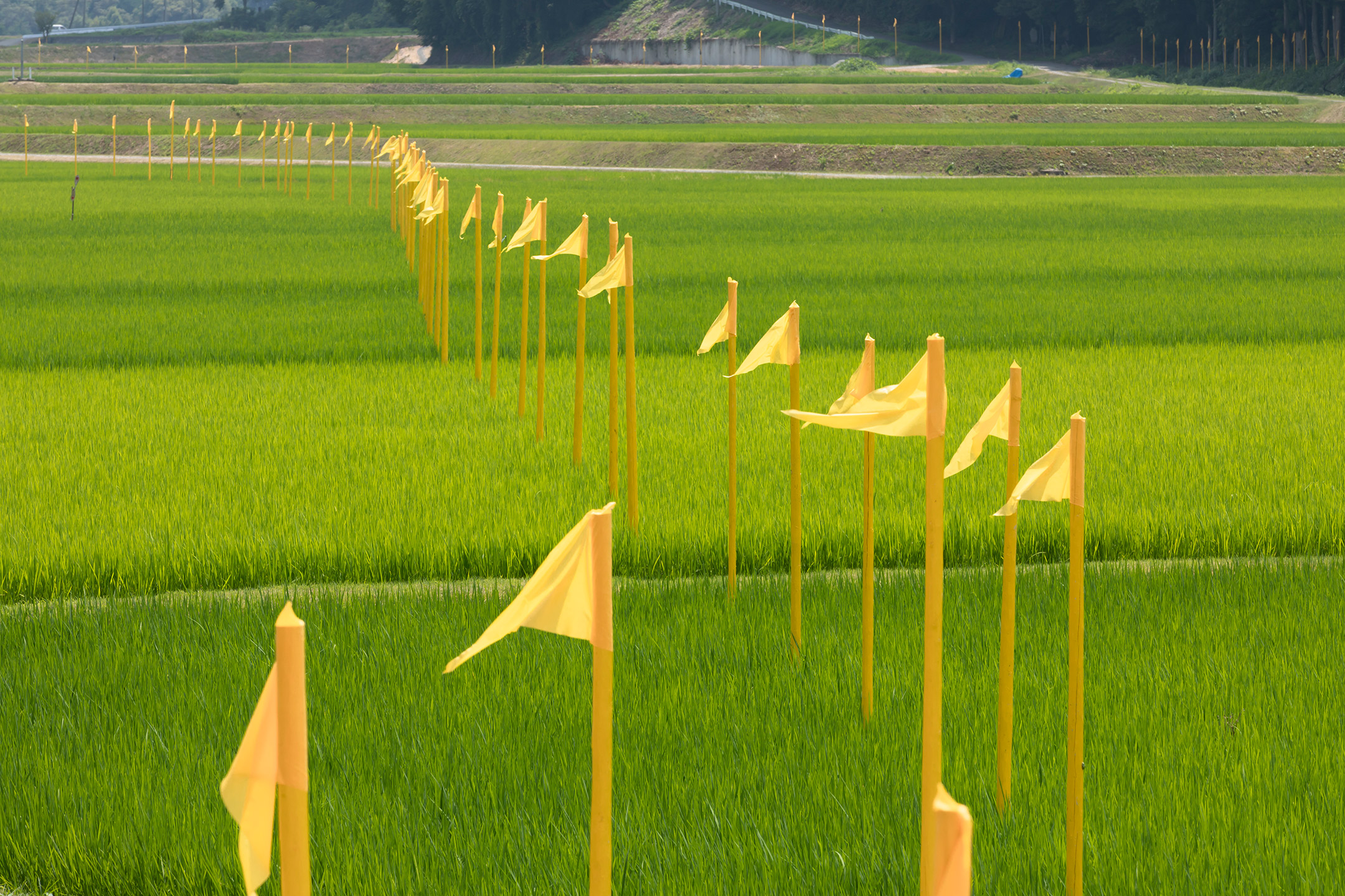
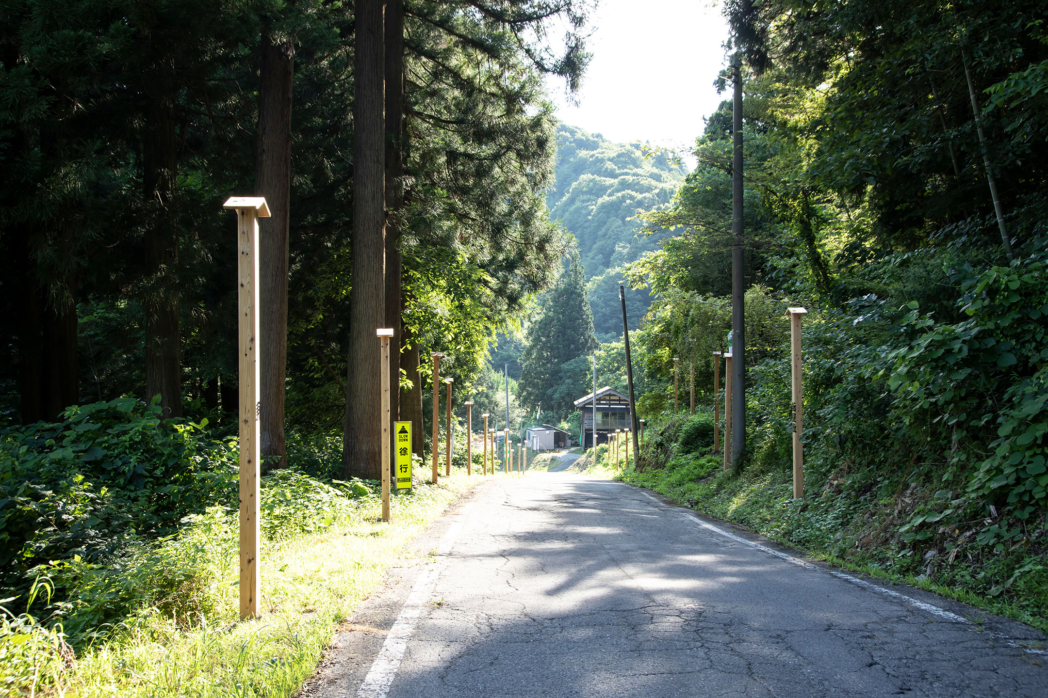
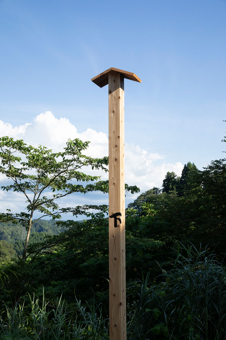
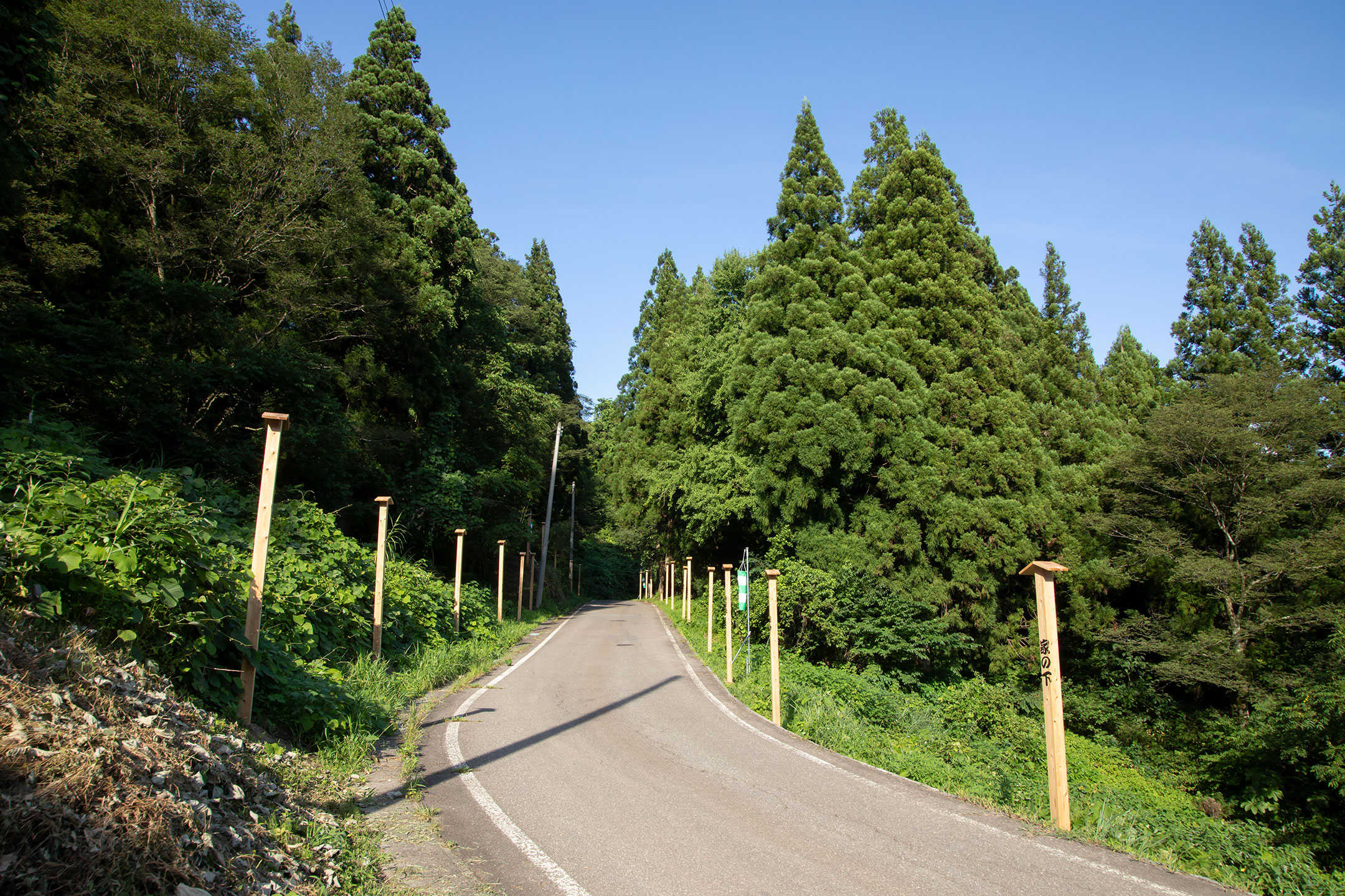
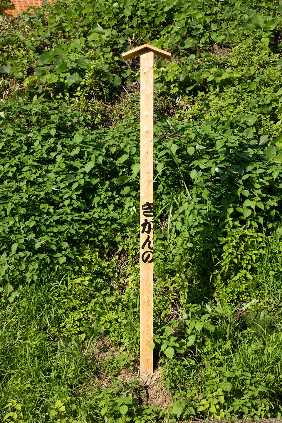
For this installation, with two monuments of the closed villages in centre, I will set up four-sided pillars with the name of each family to represent the villages when they existed in the past. I will also install a streamer as a testimony to the north-westerly winter wind which is considered to be one of the most characteristic of the region as well as the harshest natural phenomena.
I hope to express the course of history over the past four hundred years of “the vanished settlement” with the monuments of closed villages, trade names, streamers, land on the slope leading to Kajikazawa, and narrow cultivated land.
Information and Map
| Artwork no. | D382 |
|---|---|
| Production year | 2022 |
| Opening hours | Daytime |
| Admission | - |
| Area | Matsudai |
| Village | Former Kotsunagi |
| Venue | Koike, Tokamachi-city, Niigata Prefecture |


